Geography Geography 6 min read

Where nations merge

These American border towns are nothing like what you'd expect
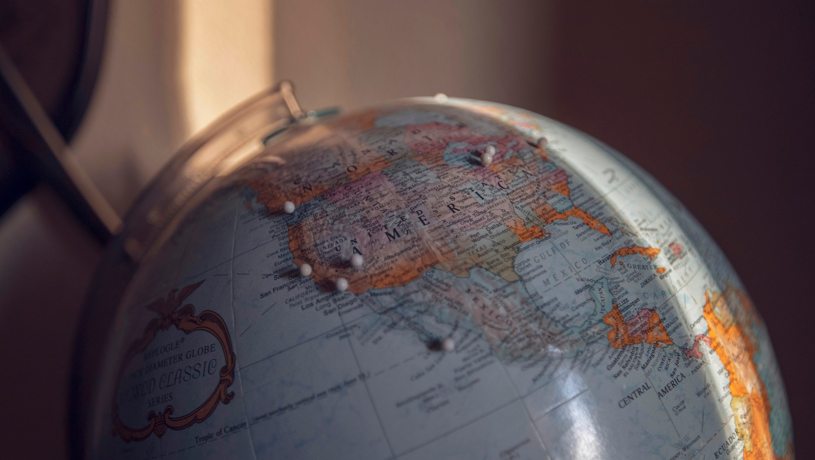
Image: Nicole Geri

America's border towns offer a unique glimpse into where two nations meet and merge. These communities blend languages, cuisines, traditions, and daily life in ways that create something entirely their own. These towns remind us that borders on maps don't always divide people; sometimes they bring them together in the most interesting ways.

1
Buffalo, New York / Niagara Falls, Ontario
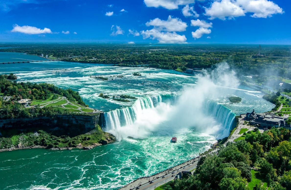
Image: Stephen Crane

Here, one of America's most famous natural wonders creates a binational tourist destination that draws millions annually . The Peace Bridge connects the cities, facilitating a relationship that goes far deeper than tourism. Buffalonians regularly cross for theatre performances at the Shaw Festival, cheaper prescription medications, and a lower legal drinking age.

The cultural blending also shows up during matchups between the Buffalo Sabres and the Toronto Maple Leafs. While the rivalry is intense, it reflects a shared Great Lakes identity shaped by decades of cross-border movement. Canadian shoppers have long made Buffalo malls a destination, while Americans enjoy Windsor-style pizza and Tim Hortons coffee on the Canadian side. The accent in this region reflects generations of cross-border mixing and shared Great Lakes culture.

2
Detroit, Michigan / Windsor, Ontario
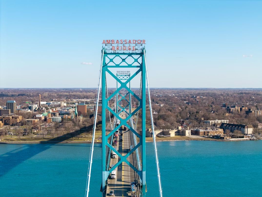
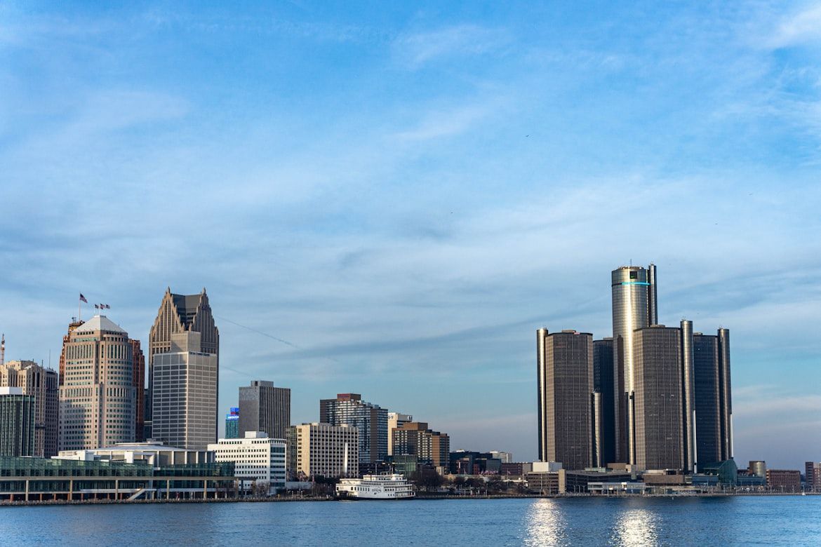
Image: Nils Huenerfuerst

Detroit and Windsor form one of the busiest international crossings in North America, connected by both the Ambassador Bridge and the Detroit-Windsor Tunnel. Over 8,000 trucks cross daily, carrying a quarter of all trade between the U.S. and Canada. But beyond commerce, these cities share deep cultural ties : Detroiters pop over to Windsor for Caesar cocktails and Canadian beer, while Windsor residents cross for Red Wings games and shopping at Somerset Collection.

During Prohibition, Windsor became Detroit's not-so-secret supplier, creating smuggling routes and speakeasies that became Motor City legend. Today, you can stand on the Detroit riverfront and see Canada closer than many American suburbs.

3
Laredo, Texas / Nuevo Laredo, Tamaulipas
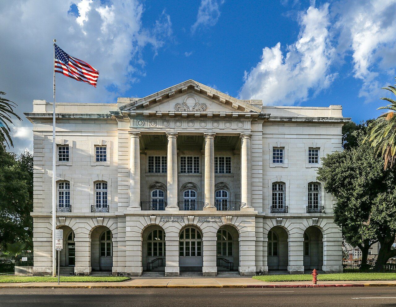
Image: JoshDavid Photos

Laredo is one of the oldest crossing points on the U.S.-Mexico border, founded in 1755. The city's Washington's Birthday celebration, oddly enough, is one of the largest such celebrations in the country, spanning nearly the entire month of February and including participants from both sides of the border.

The economy here revolves around international trade, with massive amounts of freight crossing daily between the two nations. But beyond commerce, the cultural blend shows up everywhere—in the predominance of bilingual conversations, in restaurants serving cabrito alongside barbecue, and in the way holidays are celebrated with traditions from both countries.

4
Blaine, Washington / Surrey/White Rock, British Columbia
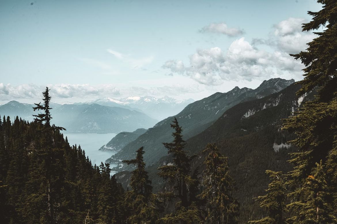
Image: Jess Barnett

Blaine sits at the western end of the U.S.-Canada border, where the line literally runs through Peace Arch Park—a unique binational park where families can picnic with relatives from either country without going through customs. The Peace Arch monument itself straddles the border, inscribed with "Children of a Common Mother" and "Brethren Dwelling Together in Unity."

Residents on both sides share a love of hiking, craft beer, and fish and chips. Blaine residents drive to Surrey for groceries at Canadian supermarkets, while British Columbians come south for gas, milk, and Trader Joe's runs . The Cascadia bioregion identity—encompassing B.C., Washington, and Oregon—often feels more meaningful to locals than national boundaries.

5
Derby Line, Vermont / Stanstead, Quebec
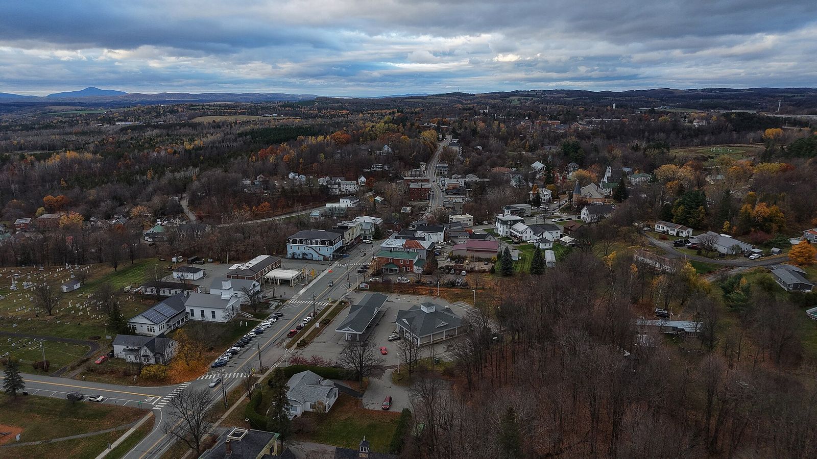
Image: Ascended Dreamer, CC BY 4.0, via Wikimedia Commons

Derby Line and Stanstead share the most uniquely porous border in North America . The Haskell Free Library and Opera House was deliberately built straddling the international boundary in 1904, with the stage in Canada and most seats in the U.S. A black line on the floor marks where one country ends and another begins—no passport required.

Several homes and buildings in town sit directly on the border, with front doors in one country and back doors in another. Before 9/11 and increased border security, locals would casually cross back and forth multiple times daily without much thought. While regulations have tightened, the community identity remains binational.

6
Sault Ste. Marie, Michigan / Sault Ste. Marie, Ontario
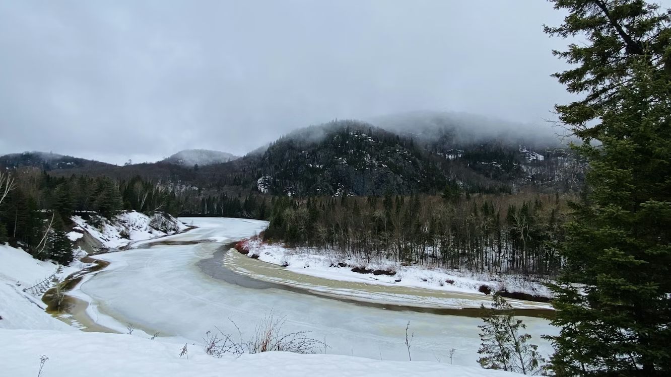
Image: Calvin Lecuyer

The "Twin Saults" are literally the same city split down the middle by the St. Marys River and the International Bridge . Founded as a single French missionary settlement in 1668, the community was divided when the border was formalized after the War of 1812. Today, residents on both sides maintain that they're really one town with an inconvenient international boundary running through it.

The Soo Locks on the American side and the Canadian locks create a shared identity around Great Lakes shipping—watching massive freighters navigate the locks is a regional pastime. Hockey culture dominates both sides, with junior leagues and recreational teams mixing Canadian and American players. Families cross the bridge for shopping, dining, and visiting relatives as casually as driving across town.

7
Hyder, Alaska / Stewart, British Columbia
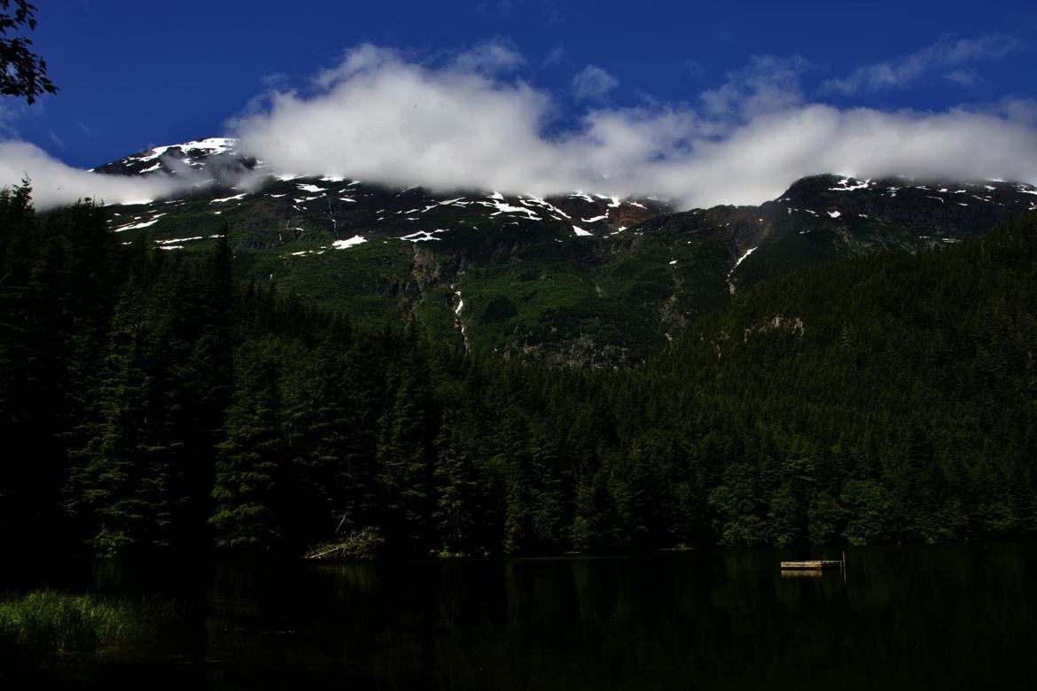
Image: Jasper Malchuk Rasmussen

While Hyder sits on the Alaskan Panhandle, it functions like a practical island: with no roads connecting it to the rest of the state, its only lifeline is a two-mile stretch of pavement leading into Stewart, B.C. This forced detour through Canada has effectively turned Hyder into a 'suburb' of its Canadian neighbor, where the border is a formality and the geography is the boss. With a population hovering around 20 people, Hyder has no bank, no post office, and spotty cell service—but it does have Stewart, B.C., just two miles away. The 400 residents of Stewart provide the services Hyder lacks, creating a dependence that makes the border almost irrelevant to daily life .

Hyder runs on Pacific Time rather than Alaska Time, uses Canadian currency, and Canadian area codes. Kids from Hyder attend school in Stewart. The towns share a volunteer fire department and emergency services.

8
Nogales, Arizona / Nogales, Sonora, Mexico
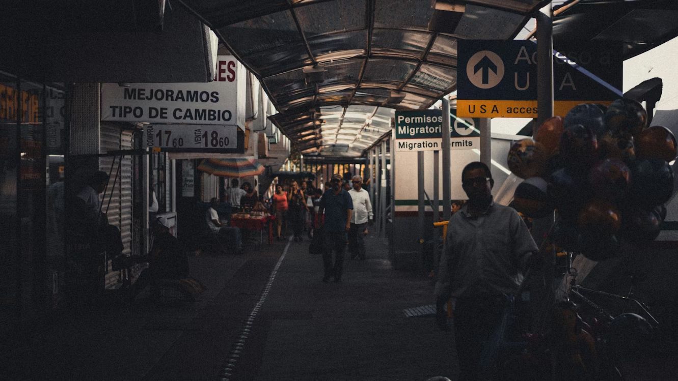
Image: Andrew Schultz

Ambos Nogales—"Both Nogales"—is what locals call this split city where the international boundary literally runs down the middle of town. Before modern border security, people would step back and forth across the line to shop, visit family, or grab lunch.

The American side has a population of around 20,000, while the Mexican side has grown to over 300,000. Despite the size difference, the cultural exchange remains strong. Arizona residents cross for affordable dental care and authentic Sonoran cuisine, while Mexican families come north for shopping at American chain stores. The shared history runs deep—many families have relatives on both sides , and the sense of being one divided community persists despite the increasingly fortified border.

9
San Diego, California / Tijuana, México
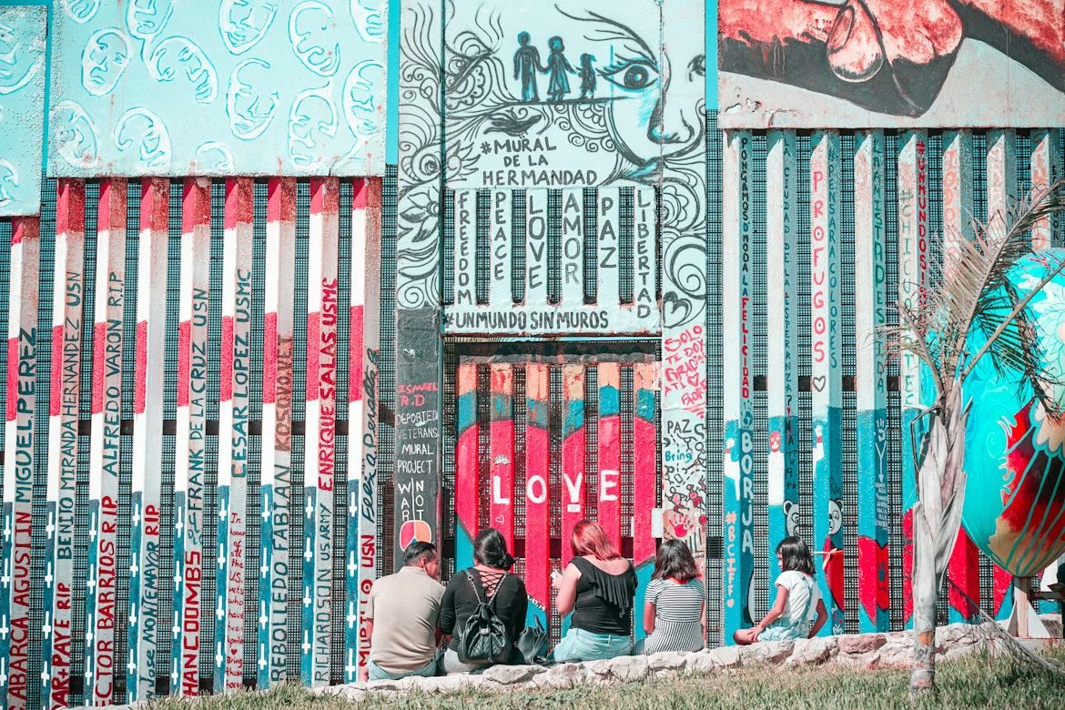
Image: Barbara Zandoval

The San Ysidro Port of Entry between San Diego and Tijuana is the busiest land border crossing in the Western Hemisphere, with around 70,000 northbound vehicle passengers daily . This constant flow has created a cultural fusion zone where fish tacos meet California beach culture, and where thousands of people hold jobs on one side while living on the other.

Craft beer culture flourishes on both sides, with breweries collaborating across the border. Street art in both cities shares similar styles and themes, while music festivals regularly feature artists from both nations.

10
El Paso, Texas / Ciudad Juárez, México
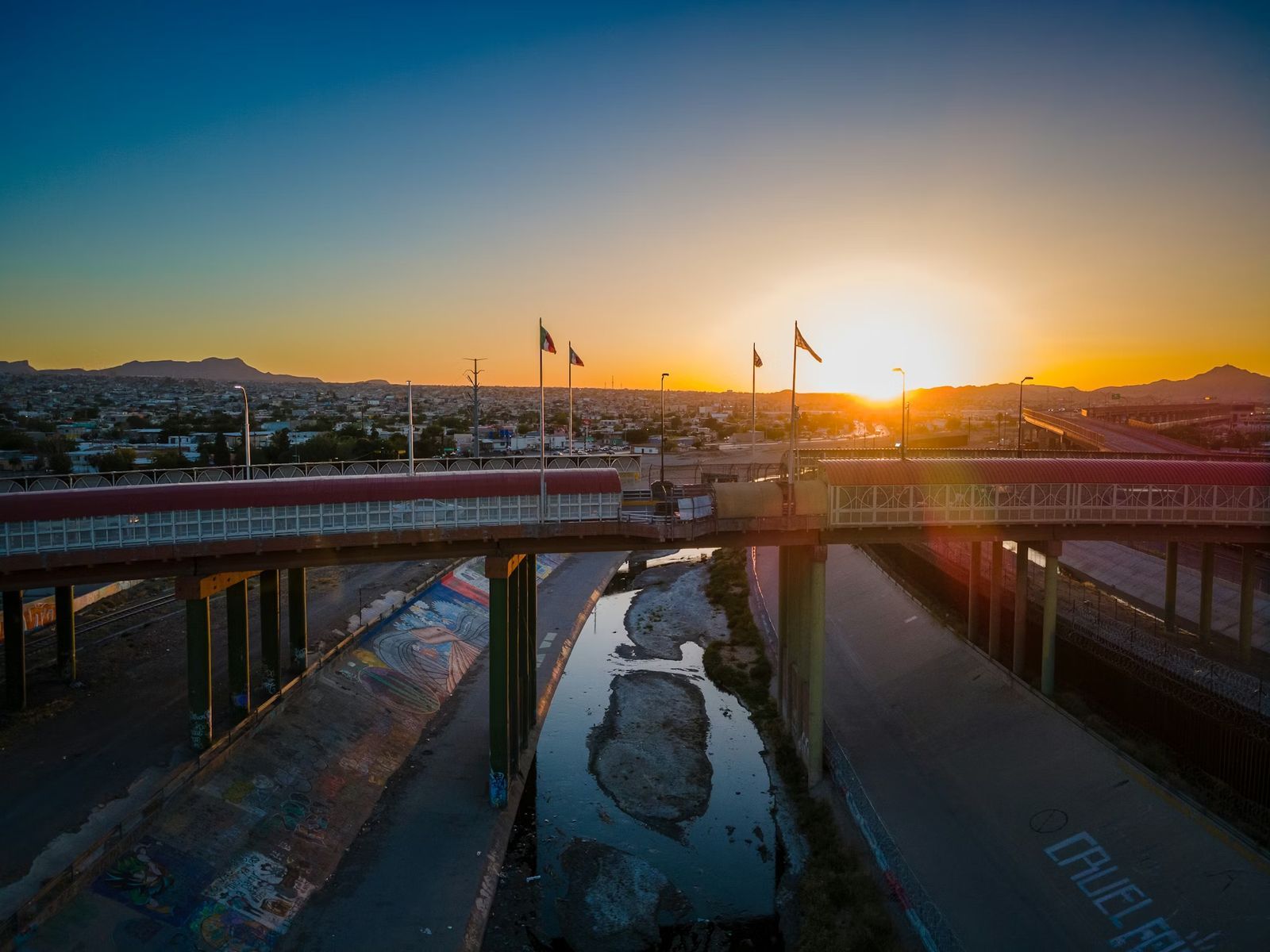
Image: Nils Huenerfuerst

El Paso and Juárez form one of the world's largest binational communities, with over 2.5 million people living in the combined metro area . Families routinely cross the border for work, school, shopping, and Sunday dinner. The Franklin Mountains provide a stunning backdrop to this bustling cultural exchange, where Tex-Mex cuisine was practically invented and where speaking both English and Spanish isn't just common, it's essential.

The downtown areas of both cities sit so close you can practically wave to someone across the Rio Grande. Street vendors sell elotes and hot dogs side by side, while radio stations broadcast to audiences in both countries simultaneously.
Geography Geography 4 min read

Ol’ Men Rivers

Without these 12 rivers, cities like Las Vegas likely wouldn't exist

Image: Carlos Delgado

Long before highways and airports, rivers were America’s original transportation network. Settlers, traders, and industries depended on waterways to move goods and people across vast distances. As a result, many of the nation’s largest cities developed where streams offered access to trade, power, and fertile land. From the Mississippi to the Colorado, these 12 famous rivers helped shape the growth of some of the biggest urban centers.

1
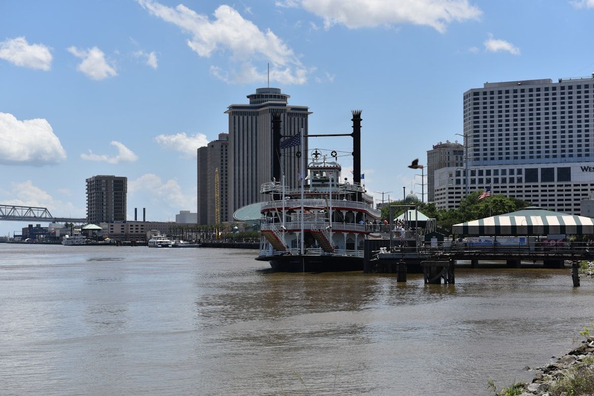
Mississippi River (New Orleans)

Image: Gower Brown

The Mississippi River, which flows through Minnesota, Wisconsin, Iowa, Illinois, Missouri, Kentucky, Tennessee, Arkansas, Mississippi, and Louisiana, has long served as the backbone of commerce in America. Winding through 10 states, it connects farms, factories, and cities across the country .

New Orleans flourishes at its mouth, which turned it into one of America’s busiest ports. Goods from the Midwest, like grain, cotton, and timber, traveled downriver to ships bound for global markets.

2
Hudson River (New York City)

Image: Melanie Celine

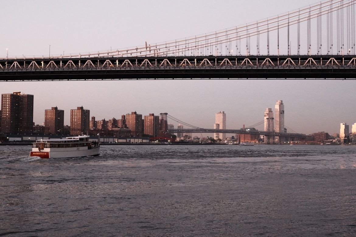
The Hudson River transformed New York City into the East Coast's leading port, as its deep waters allowed ocean-going ships from the Atlantic to travel far inland .

When the Erie Canal opened in 1825, it linked the Hudson River to the Great Lakes near Waterford, New York, about 150 miles north of the city. This created a direct trade route between the Midwest and the Atlantic, cementing New York’s economic dominance.

3
Chicago River (Chicago)

Image: Zander Betterton

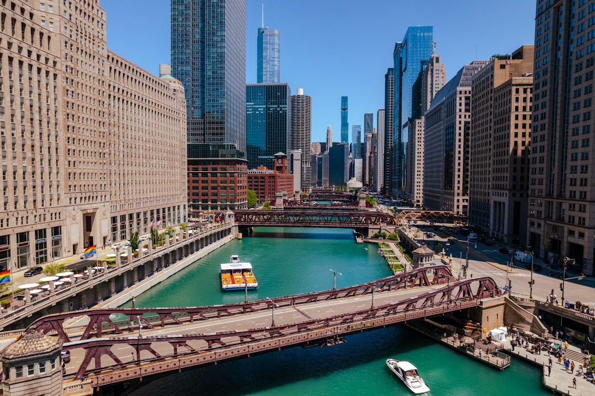
Chicago’s rise began with its strategic location along the Chicago River, a short but crucial waterway connecting Lake Michigan to inland routes .

With the construction of the Illinois and Michigan Canal in 1848, Chicago became the gateway between the Great Lakes and the Mississippi River basin, fueling explosive growth in trade and industry.

4
Charles River (Boston)

Image: Prateek Pisat

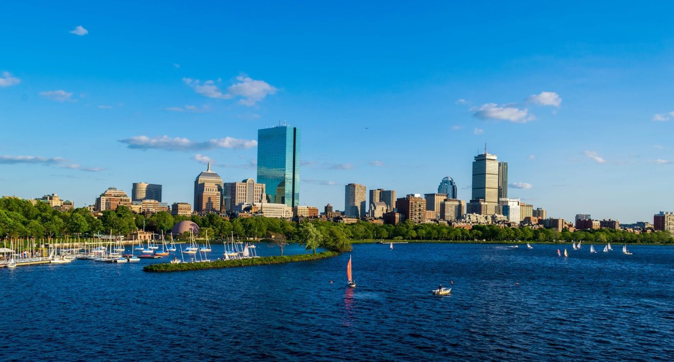
The Charles River played a central role in early American industry. In the early 1800s, mills along its banks harnessed the river’s power to run machinery .

The nearby textile mills in Waltham helped pioneer the American factory system. The Boston Manufacturing Company mill was the first fully integrated textile factory in the U.S., integrating the spinning, weaving, and finishing processes under one roof. The river’s energy helped transform the Boston region into a major industrial center.

5
Delaware River (Philadelphia)

Image: Mick Kirchman

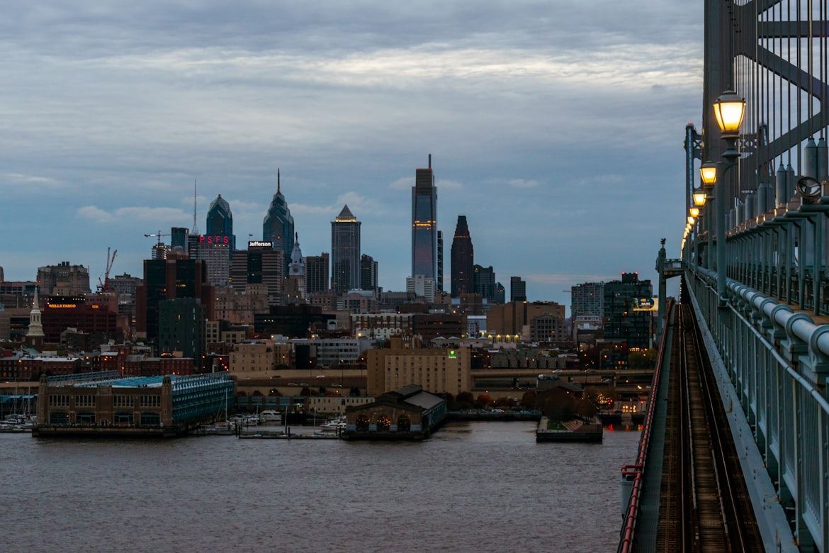
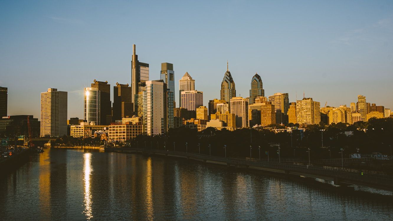
Philadelphia was founded along the Delaware River, which quickly became one of colonial America’s most important trade corridors.

Ships carrying grain, lumber, and manufactured goods traveled between Philadelphia and the Atlantic . The river helped the city grow into one of the largest and most prosperous ports of early America.

6
Potomac River (Washington, D.C.)

Image: Nicholas Wright

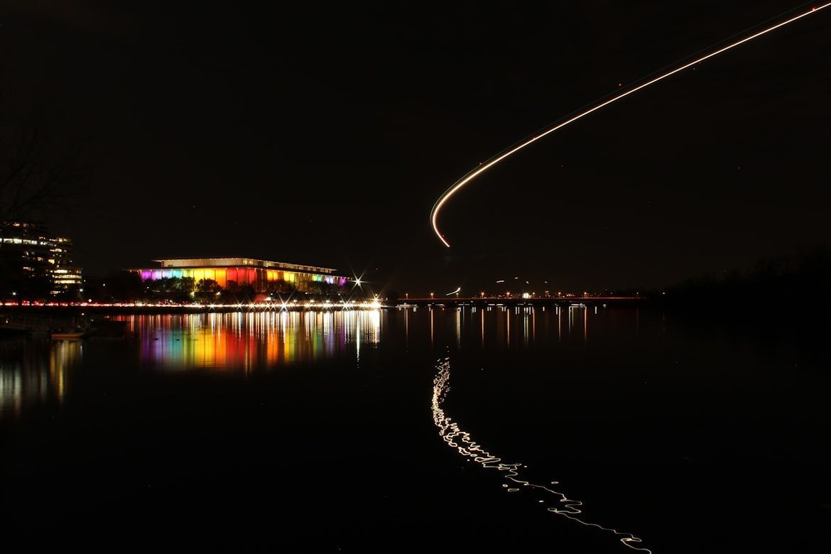
The Potomac River helped determine the location of the nation’s capital, which was established in 1790. This broad waterway was intended to provide access between the Atlantic and the interior of the new country .

Early leaders, like George Washington, hoped the river would become a major commercial corridor linking the young capital to western towns through canals and improved navigation routes.

7
Schuylkill River (Philadelphia)

Image: Alejandro Barba

Flowing through Philadelphia, the Schuylkill River powered much of the city’s early industrial growth. Its waters supported mills and factories throughout the 19th century .

The Schuylkill Canal also carried vast shipments of Pennsylvania anthracite coal, providing the fuel that powered factories and heated homes across the growing nation.

8
Ohio River (Pittsburgh)

Image: Carson Kaskel

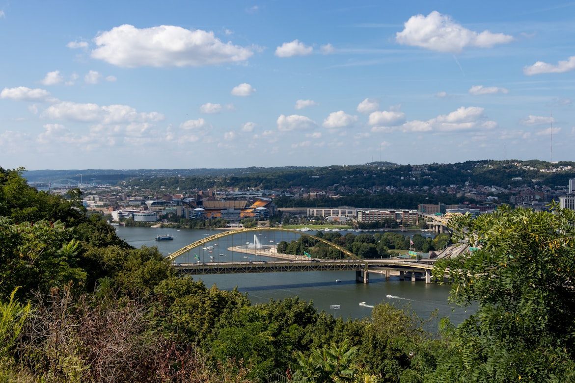
The Ohio River begins at Pittsburgh, where the Allegheny and Monongahela rivers meet. This strategic location turned the city into a gateway to the expanding American frontier .

Beginning in the 1810s, steamboats carried settlers and goods downstream to cities like Cincinnati and Louisville, helping Pittsburgh grow into a major industrial and transportation center.

9
Missouri River (Kansas City, Missouri)

Image: Nathan Sack

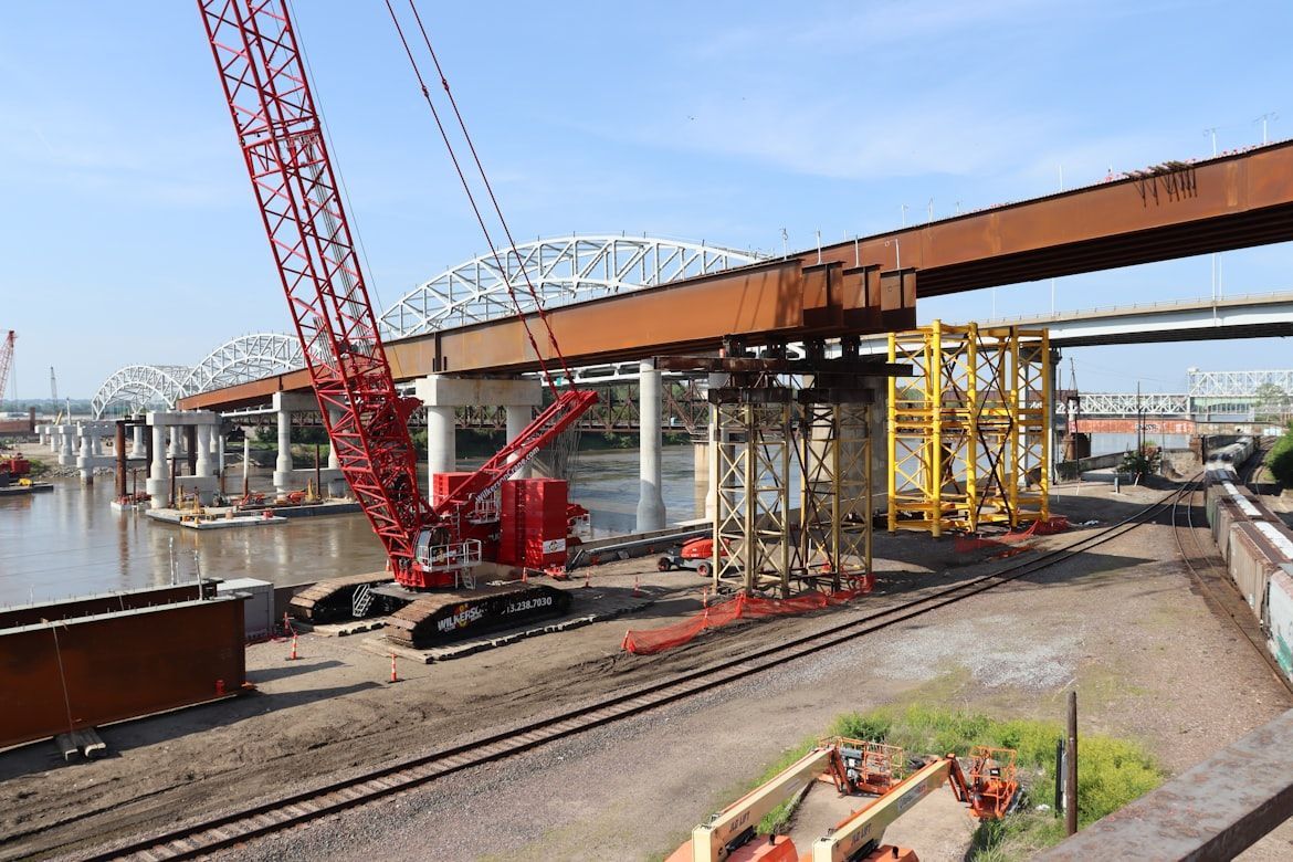
The Missouri River served as a key launching point for westward expansion during the 19th century.

Kansas City grew where river trade intersected with overland trails heading west , including the Santa Fe and Oregon Trails. The river made the city a critical supply hub for pioneers and traders.

10
Detroit River (Detroit)

Image: GV Chana

The Detroit River links Lake Erie and Lake St. Clair, forming a vital passage in the Great Lakes shipping system .

Detroit developed along this busy corridor, where ships transported iron ore, timber, and other raw materials. These resources helped fuel the city’s rise as a manufacturing center.

11
Cuyahoga River (Cleveland)

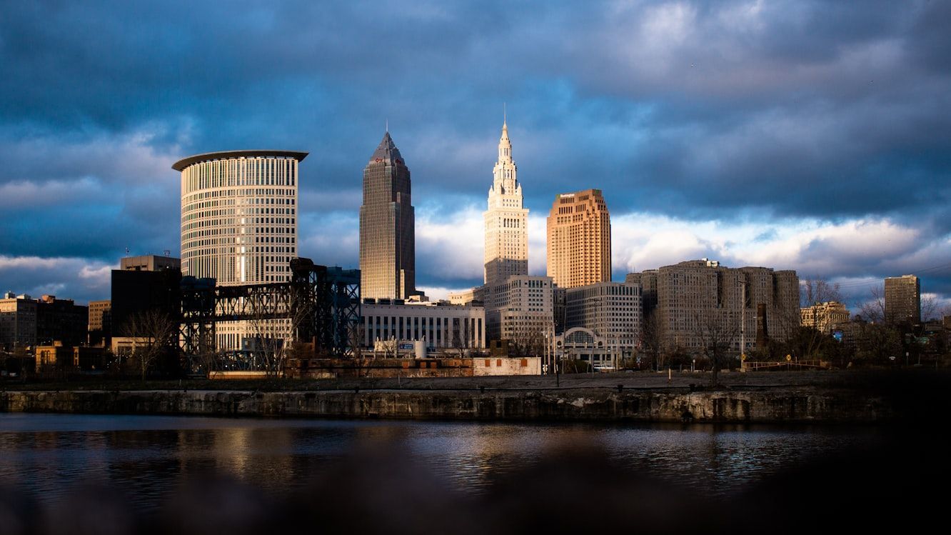
Image: DJ Johnson

The Cuyahoga River winds through Cleveland before emptying into Lake Erie, creating a natural harbor that attracted industries .

Steel mills, shipyards, and refineries lined its banks during the late 19th and early 20th centuries, turning Cleveland into one of the Midwest’s most important industrial cities.

12
Colorado River (Las Vegas)

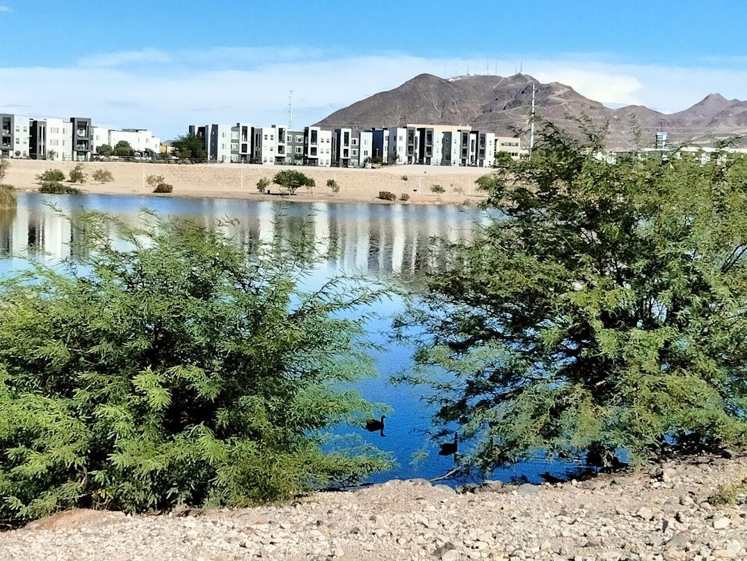
Image: Veronica Ascencio

Though best known for carving the Grand Canyon, the Colorado River also helped make the rise of modern cities in the desert Southwest possible .

Projects like Hoover Dam and Lake Mead provided water supplies and hydroelectric power that supported the rapid growth of nearby cities, such as Las Vegas, in an otherwise arid region.

General General 6 min read

Fossil treasures

10 jaw-dropping dinosaurs discovered in America

Image: Fausto García-Menéndez

The territory of the United States is a real goldmine for paleontologists. Over the years, some of the most impressive and well-preserved dinosaur fossils in the world have been discovered in our country. From the likable Apatosaurus to the fearsome Tyrannosaurus rex, the finds have provided a fascinating glimpse into prehistoric life. Read on to learn about the 10 most famous and influential American dinosaurs.

1
Anchisaurus

Image: Simon Infanger

Anchisaurus is one of the first dinosaurs discovered in American territory, although it was not correctly identified at the beginning. The first fossil of this herbivore was found in East Windsor, Connecticut , in 1818, but it was then believed to be part of a human skeleton. In subsequent years, other specimens of this species were uncovered in the area.

It measured 8 to 20 ft in length and lived 210 million years ago in the Portland Formation, Northeastern United States. In the late Triassic and early Jurassic periods, the Connecticut Valley was a dry, steep depression, and it was possible to pass from here to the east and the center of what is now Africa. This explains why some dinosaurs lived both in America and other continents.

2
Triceratops

Image: photo_steff

One of the most iconic dinosaurs found in America is the Triceratops, a herbivore that lived 70 to 65 million years ago, right at the end of the Age of Dinosaurs, in the Late Cretaceous. Its name derives from Greek and means "face with three horns". One of the largest horned dinosaurs**,** it stood around 7.5 ft tall and weighed about 5 rhinoceroses, the equivalent of 10 tons.

Fossils of this dinosaur have been found in abundance in the Hell Creek Formation in Montana and South Dakota. No fossils of this dinosaur have been found on any other continent. Triceratops has been the state dinosaur of Wyoming since March 1994.

3
Allosaurus

Image: WikiImages

Allosaurus was one of the largest carnivores of the Jurassic period and its remains in the United States have been found mainly in the Morrison Formation, which covers states such as Colorado, Utah, and Wyoming. It lived 155 to 145 million years ago in North America, Africa, Australia, and possibly China. Also, did you know that the Allosaurus fragilis is the state fossil of Utah?

This bipedal dinosaur was an agile hunter with powerful jaws and sharp teeth. It was a theropod, not as huge as the largest carnivore, Tyrannosaurus rex, but just as fearsome. Allosaurus was bigger than an elephant and heavier than a rhino. Its name means "different lizard" due to its rare concave vertebrae.

4
Stegosaurus

Image: ariesa66

Another inhabitant of the Morrison Formation was the Stegosaurus, famous for its dorsal plates and spines on its tail, which it used for defense. Stegosaurus used to walk on all fours, grazing on low vegetation. Its head was perfectly adapted to this way of feeding. It was first described in 1877 by Yale paleontologist Othniel Charles Marsh, and its name means "roof(ed) lizard".

This Jurassic herbivore has been discovered in several states in the western United States. Scientists have found many fossils, showing that it was a very common creature for 10 million years, despite its tiny brain, small head, and useless teeth. The discovery of the Stegosaurus has helped them better understand the anatomy and behavior of armored dinosaurs.

5
Tyrannosaurus rex

Image: Elly Enn

Is Tyrannosaurus rex the most famous dinosaur on the planet? Portrayed by pop culture to the hilt, this formidable predator is known for its gigantic size, razor-sharp teeth, and bipedal posture. However, its popularity has a logical explanation. T. rex is also one of the best-represented dinosaurs in the fossil record, with several complete specimens discovered, particularly in the states of Montana, South Dakota, and Wyoming.

Based on bones found in the late 19th century, paleontologist Henry Fairfield Osborn recreated the first drawing of this gigantic creature. He named it Tyrannosaurus rex, meaning "tyrant lizard king," because it is believed to have been the most dangerous dinosaur and the largest land carnivore of all time. Although it is estimated that up to 1.7 billion T. rex dinosaurs lived on Earth, only about 30 nearly complete skeletons have been found. Think about that!

6
Deinonychus

Image: Steve Wrzeszczynski

This small but ferocious theropod lived during the Cretaceous period about 115-108 million years ago. Deinonychus is known for its sickle-shaped claws on its feet, used for hunting. Its name, unsurprisingly, means "terrible claw". Like all bipeds, it moved only on its hind legs and is believed to have been able to run at 25 miles per hour: more than the average Olympic champion.

Deinonychus fossils were found in Utah, Oklahoma, Montana, and Wyoming, in rocks of the Cloverly Formation and Antlers Formation. The study of this species, beginning in the 1960s, revolutionized the way scientists thought about dinosaurs, providing fascinating new insight into smaller predators.

7
Ankylosaurus

Image: mdherren

Ankylosaurus is one of the best-known armored dinosaurs, which lived at the end of the Cretaceous period. It had bony protrusions on its head and all over its body as protection against the teeth and claws of predators. The armor was made up of small plates of bone welded together, constituting a shell as effective as that of turtles.

This gigantic herbivore roamed the jungles of North America about 68-66 million years ago, almost as well protected as a modern tank. The first specimen of Ankylosaurus was found in 1906 in the Hell Creek Formation, near Gilbert Creek, Montana. Other fossils of this species were discovered in other parts of Montana and Alberta, Canada, in the following years. However, to this day, it has not been possible to obtain a complete skeleton.

8
Hadrosaurus

Image: Jordyn St. John

The first Hadrosaurus fossils were discovered by William Parker Folke, an amateur paleontologist, in 1838 in Haddonfield, New Jersey. The excavation site, known as the Hadrosaurus foulkii Leidy site, is now a National Historic Landmark. Hadrosaurids are known for their duck-billed mouth, with a powerful jaw containing several rows of teeth for chewing all kinds of leaves.

In 2004, scientists found a mummified Hadrosaurus specimen in North Dakota. This fossil is extremely unusual and valuable, as dinosaur soft tissue including skin and muscle is rare. This find allows us to learn more about this species and how they lived 67 million years ago.

9
Diplodocus

Image: michaelwedermann

Diplodocus means "double beam" and is so named because of the double bones in its tail. This was one of the longest animals on earth. It was about 79-85 ft long, 15 ft high, and weighed 15 tons. It could reach the tops of towering trees for food, and its small head allowed it to forage in vegetation where few other dinosaurs could reach.

Although some Diplodocus fossils were discovered earlier near Cañon City, Colorado, the most notable find came a few years later. In 1899, Funded by Scottish-American steel tycoon Andrew Carnegie, members of the Carnegie Museum of Natural History found a well-preserved Diplodocus skeleton in the Morrison Formation of Sheep Creek, Wyoming. With these fossils, the museum created a composite mount that became very popular and even got to tour the world.

10
Apatosaurus

Image: Cup of Couple

Apatosaurus is one of the best-known sauropods that inhabited North America during the Jurassic period. These herbivorous giants, with their long necks and tails, have also been discovered in the Morrison Formation, mainly in Colorado and Utah. It is believed to have lived 150 million years ago, at the end of the Jurassic period.

Apatosaurus could reach 69-75 ft in length, 20 tons in weight, and was one of the largest sauropods. It had a long neck containing 15 huge bones supported by powerful muscles that allowed it to feed on the leaves of the tallest trees. Perhaps this dinosaur sounds familiar. It has been the inspiration for numerous beloved animated characters: Littlefoot from The Land Before Time and Arlo and Poppa Henry from Pixar's The Good Dinosaur are Apatosauruses.

Explore more American facts

Choose your favorite category!

General
General

As American as apple pie—the very best America has to offer!

Culture
Culture

Delve into the astounding richness of American lore.

Geography
Geography

Hop in and explore vast and diverse American landscapes.

History
History

Discover the key moments that shaped the United States.