General General 4 min read

QUIRKY FRIENDS

America's most beloved characters: 10 mascots we all love

Image: Jacob Rice

Few things are more American than identifying your favorite sports team or favorite breakfast cereal with a beloved mascot. Marketing has found a great way to make consumers feel attached to specific brands and identify with their products and characters. Who doesn’t love Tony the Tiger or our fluffy friend, the Pillsbury Doughboy? They have found their way into our homes and hearts! In this article, we’ll talk about 10 of our favorite American mascots. Read on and enjoy!

1
Rich Uncle Pennybags

Image: Maria Lin Kim

Board games are popular, at least some of them. Clue, Pictionary, Monopoly—we’ve all played at least one of these. But Monopoly’s popularity is something else. And it’s not just the game’s popularity but the fine man who is the face of the brand.

Rich Uncle Pennybags was introduced in 1936 and is widely known as Mr. Monopoly. This rich guy, dressed in a smart tuxedo, turned out to be so popular that he’s been incorporated into the brand’s logo altogether.

2
Tony the Tiger

Image: Franki Chamaki

Introduced in 1951, Tony the Tiger has been a fixture in, possibly, every single household in the United States and many more countries around the world.

With his classic blue background, Tony the Tiger successfully helped Kellogg’s skyrocket as a brand and made not only the mascot but the cereal truly unforgettable. In spite of being a tiger, Tony is known for his courageous messages and friendly smile that invites consumers to take a scoop of cereal and be ready to face the day. Who doesn’t need this shot of inspiration every morning? We can definitely count on Tony the Tiger for that!

3
Pillsbury Doughboy

Image: Kelsey Todd

This fluffy, adorable mascot, affectionately known as Poppin’ Fresh has been making kitchens a little brighter since 1965.

His real name is the Pillsbury Doughboy, and he is famous for his infectious laugh that erupts whenever someone pokes his belly. Dressed in his signature white chef’s hat and scarf, this giggling, chubby fella is the best company one can have when baking. If you have any doubts, you can ask this baking master!

4
Gritty

Image: Lynda Sanchez

If chaos had a face, it would definitely be Gritty! This wild-eyed, orange furball took the world by storm as the official mascot of the Philadelphia Flyers NHL team.

He made his debut in 2018 and soon became a favorite thanks to his unpredictable antics and meme-worthy expressions, which you are surely familiar with!

Both his personality and his color are quite loud, making him quite unforgettable, as orange is also the color of the team. It represents their essence: unapologetically weird and proud of it!

5
Smokey Bear

Image: Brian Wangenheim

Nature is truly a wonder, but in order to keep it that way, we need to protect it. Now, when it comes to this, warning messages have effectively prevented people from accidentally starting wildfires, thanks to a strong brown bear with a powerful message "Only you can prevent wildfires."

The campaign started in 1944 when Smokey Bear was introduced to the nation to spread the message across radio, TV, and print media. In no time, he became a success and a mighty figure of environmental protection.

6
Mr. Met

Image: Lesly Juarez

The spring of 1963 must be a loving memory for Mets fans: that’s when their mascot, Mr. Met, was born. And he came to this world with only one purpose, to cheer the New York Mets for life, and oh-boy did he accomplish it!

For over four decades, and with a partner in crime who joined the family in the mid-1960s, Lady Met, this baseball-loving mascot with a giant baseball for a head, has not only been a mascot but has also become part of the family. Is he a part of yours?

7
Kool-Aid Man

Image: Reba Spike

This brand is one of the most consumed in America and, even though they didn’t need a mascot to be successful, the Kool-Aid man surely brought around a fair dose of cuteness and good marketing.

Originally known as Pitcher Man, which made sense since he is the drawing of a pitcher, he was later renamed Kool-Aid Man with a clear target audience: children. Once again, the brand mascot made it an undeniable success, and it soon became a cultural icon with an iconic "Oh, Yeah!" catchphrase that can make you thirsty just from reading it! Thank goodness we have the Kool-Aid man to assist us there!

8
The Laughing Cow

Image: Kenny Eliason

This brand has a namesake mascot which, ever since it was created in 1921, has undergone quite an evolution! The cheerful cow, known as the Laughing Cow, first appeared to promote high-quality dairy products when packaged cheese was a novelty.

The character, highly recognizable for its red color, has graced all kinds of the company’s product packages and has become a synonym for quality dairy products, so much so, that it continues to be the logo of the brand today!

9
Big Tex

Image: Ray Shrewsberry

If you are from Texas, or if you have attended its State Fair, you are probably familiar with this 55-foot-tall state mascot. Big Tex, the official mascot of the State Fair of Texas was introduced in 1952 as a repurposed Santa Claus figure!

At the time, he was completely transformed into the towering cowboy we all know today. With his classic cowboy hat and his iconic greeting "Howdy, folks!" However, it’s not entirely fair to call him just a mascot, as he actually serves as a cultural ambassador for everyone who visits the State Fair.

10
Cy the Cardinal

Image: Jacob Rice

Cereal, cleaning products, sports teams—mascots are everywhere. And universities also have their furry friends. In the case of Iowa State University, Cy the Cardinal is the one and he has been ever since 1954.

Born from a student contest to create a mascot that embodied the school pride, Cy was inspired by the university’s nickname, the Cyclones. He is characterized by his vibrant red plumage and his big smile, which is key to rallying fans at any sporting event. Isn’t he fierce?

Geography Geography 5 min read

CROSS-COUNTRY ADVENTURES

Discover America: The 10 most scenic routes in the U.S.A.

Image: Sean McArthur

For those with a thirst for adventure, America's vast and diverse landscape offers some of the most breathtaking road trips in the world. From challenging mountain roads to exhilarating scenic highways, the open roads of the United States beckon both locals and tourists alike. Exploring our country can be one of the most rewarding experiences within reach, and you don’t need much—just a bit of courage (and a lot of gas!). Whether you're planning a weekend getaway, an epic cross-country journey, or just feeling curious, we've gathered in this article 10 of the most beautiful roads in the country.

1
Pacific Coast Highway

Image: Joe Pilié

The Pacific Coast Highway , officially known as California State Route 1, runs along the stunning California coastline. This iconic route stretches from Dana Point in Orange County to Leggett in Mendocino County, offering breathtaking views of the Pacific Ocean, rugged cliffs, and charming coastal towns.

Designated by the United States Department of Transportation as an All-American Road , the Pacific Coast Highway also serves as a vital artery for residents in the Greater Los Angeles Area and the San Francisco Bay Area. Unfortunately, the route is also known for its frequent coastal landslides, which often cause sections of the road to be closed or redirected inland, so if you are planning to take this route, be sure to check conditions and plan ahead.

2
Blue Ridge Parkway

Image: Angela Bartosh

For those who love bluish mountains and epic landscapes, this route is a must-visit. Winding through the Appalachian Mountains, the Blue Ridge Parkway connects Shenandoah National Park in Virginia to the Great Smoky Mountains National Park in North Carolina.

This 469-mile drive is renowned for its fall foliage, lush scenery, and panoramic vistas. Whether you plan to hike some of its many trails, explore historic sites, or simply enjoy the views from the comfort of your vehicle, the Blue Ridge Parkway offers a truly rewarding experience. Just be aware that the road is not maintained in winter, and certain sections and high passes may be closed from late fall through early spring.

3
Route 66

Image: Nikolai Justesen

Famously dubbed the "Mother Road" by Steinbeck in The Grapes of Wrath , Route 66 embarks on an epic cross-country journey from Chicago to Santa Monica, stretching a total of 2,448 miles. Immortalized in songs and media, this historic road has achieved legendary status, not only as one of the country’s most celebrated routes but also as a symbol of the United States around the world.

This iconic route takes you through picturesque small towns, vast deserts, and quintessential Americana. Though the original road was supplanted by the Interstate Highway System in 1985, much of the historic route has been preserved as a National Scenic Byway , now known as "Historic Route 66."

4
Great River Road

Image: Mitchell Kmetz

Following the course of the Mississippi River , the Great River Road stretches 2,340 miles through ten states, from Minnesota to Louisiana. The term "Great River Road," however, refers not only to the official network of roadways that follow the river's path but also to a broader region of historical and touristic significance.

Originally extending north into Canada, it once connected with the provinces of Ontario and Manitoba. Notable stops along the route include the Twin Cities, Mark Twain's hometown of Hannibal, Missouri, and the Delta Blues Museum in Clarksdale, Mississippi.

5
Going-to-the-Sun Road

Image: Tevin Trinh

Located in Montana's Glacier National Park, the Going-to-the-Sun Road is a 50-mile engineering marvel, with sections carved into steep rock faces. This alpine route traverses the Continental Divide through Logan Pass at an elevation of 6,646 feet, offering jaw-dropping views of glaciers, waterfalls, and wildlife.

The road is named after Going-to-the-Sun Mountain, which dominates the eastbound view beyond the high pass. According to a Native American legend, a deity called Sour Spirit descended from the sun to teach the Blackfeet tribe how to hunt, giving the mountain its name.

6
Overseas Highway

Image: Ilse Orsel

Connecting mainland Florida to Key West, the Overseas Highway is a 113-mile journey across a series of bridges and tropical islands. Much of the route was built on the remnants of the Overseas Railroad , which was severely damaged and partially destroyed by the 1935 Labor Day hurricane. In the 1950s, the Overseas Highway was revamped into a major coastal route linking Miami to Key West.

This exotic drive not only offers spectacular views of turquoise waters and coral reefs but also provides the opportunity to spot local wildlife such as American alligators, American crocodiles, and Key deer.

7
Tail of the Dragon

Image: Stephen Cook

Deals Gap , a thrilling mountain pass along the North Carolina–Tennessee state line, is famously known as the Tail of the Dragon due to its astonishing 318 curves in just 11 miles. This legendary stretch of U.S. Route 129 is a global favorite among motorcyclists and sports car enthusiasts, who often come to challenge their vehicles and driving skills on its winding curves.

As the road forms part of the southwestern boundary of the Great Smoky Mountains National Park , the 11-mile stretch remains free from urban development and features numerous scenic overlooks and pull-off points.

8
Hana Highway

Image: Claude Piché

Also known as The Road to Hana, the Hana Highway on Maui, Hawaii, is a 64.4-mile stretch of Hawaii Routes 36 and 360 that traverses through rainforests, cascading waterfalls, and seascapes. As it meanders across the island, the road features over 600 curves , leading to the charming town of Hana, one of the most isolated communities in the state.

Before you get too excited, though, be prepared for a journey that can take nearly three hours. Although the distance may seem short on paper, the highway's winding, narrow nature and its 59 one-lane bridges can significantly extend travel time.

9
Natchez Trace Parkway

Image: Mika Matin

Stretching 444 miles from Natchez, Mississippi, to Nashville, Tennessee, the Natchez Trace Parkway is a journey rich in history and natural beauty. This scenic drive follows the ancient Native American trail of the same name, even preserving sections of the original path.

This historical route offers peaceful landscapes and numerous recreational opportunities for visitors. Notable stops include archaeological treasures like Emerald Mound , several abandoned towns and historic settlements, and the Meriwether Lewis Monument and Grave Site.

10
U.S. Route 50

Image: Paddy Kumar

U.S. Route 50 is a major highway that spans the width of the United States, connecting Ocean City, Maryland, on the East Coast to Sacramento, California, on the West Coast. Stretching 3,073 miles, this route traverses diverse landscapes but is most renowned for its rural desert and mountainous scenery in the western United States.

Particularly notable is its Nevada segment, famously dubbed "The Loneliest Road in America" due to its sparse traffic and lengthy, isolated stretches. Established in 1926 as part of the original U.S. Highway system, US 50 initially extended from Wadsworth, Nevada, to Annapolis, Maryland. The original route incorporated several historic trails, including the Lincoln Highway, Midland Trail, and the National Old Trails Road.

Geography Geography 4 min read

Before GPS: Clever tricks Americans used to navigate the open road

Image: T.H. Chia

Image: T.H. Chia

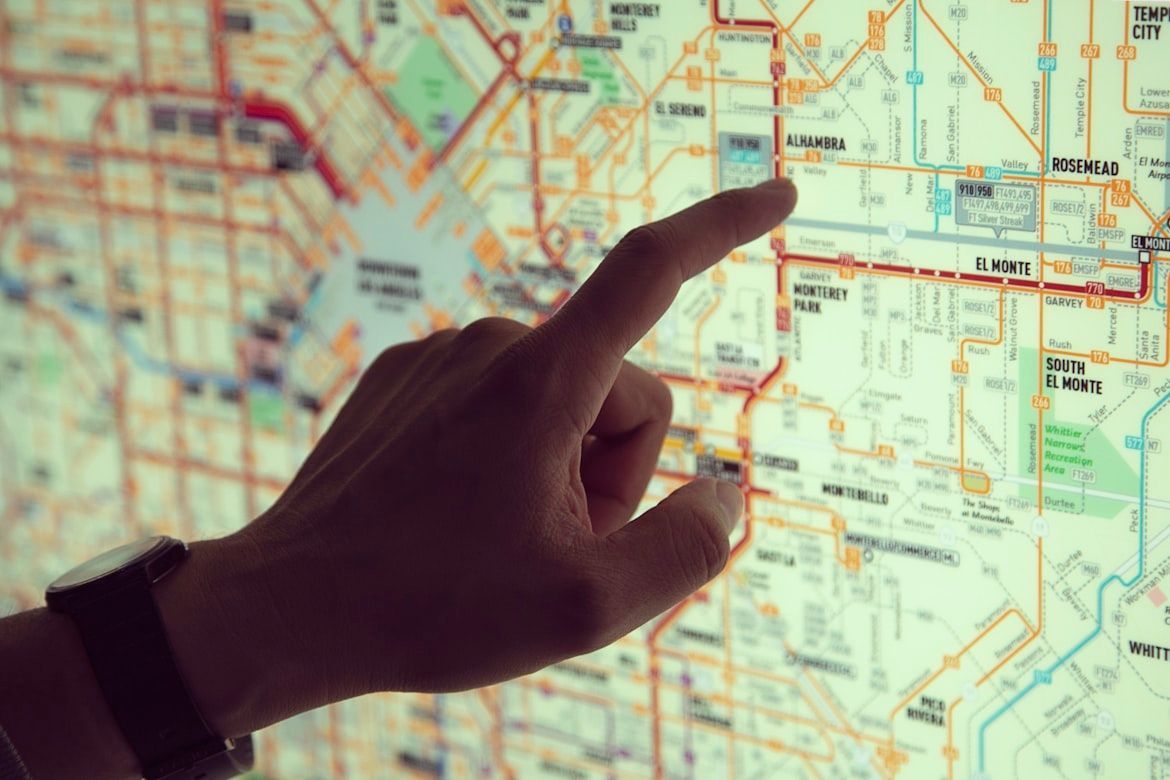
Before smartphones and GPS started telling us where to turn, getting across the country required a little planning and a few clever tricks to remember the route. Travelers relied on paper maps, strangers on the road, and even public phone booths to stay on course. If your destination ever depended on the directions of a stranger, you’ll probably enjoy remembering a few of these clever tricks!

1
The MapQuest printout ritual

Image: José Martín Ramírez Carrasco

For many travelers, the trip really began here: sitting at the computer just minutes before leaving and printing turn-by-turn directions from MapQuest. The printed pages listed every step of the route, including the distance between each turn. This method was probably the one that marked the transition from traditional paper navigation to modern GPS systems.

2
Free maps at gas stations

Image: Jean-christophe Gougeon

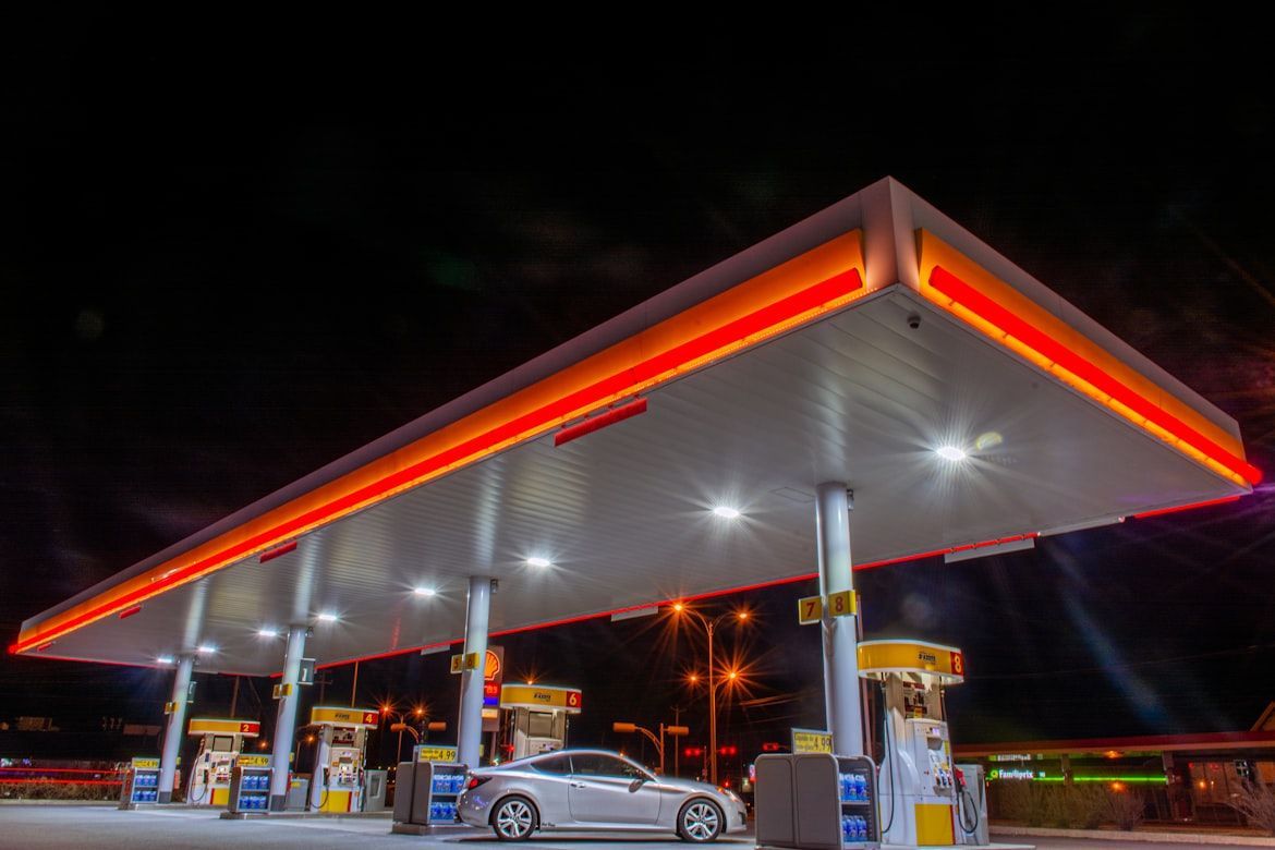
Back in the 1920s, advertising executive William Akin came up with an idea to promote the new Gulf Refining Company gas stations. At the time, drivers still had to buy gasoline in five-gallon containers because service stations were uncommon. Akin proposed distributing free local maps in each area where these Gulf stations were located.

The idea spread quickly, and other gas companies soon adopted the same strategy. Over time, gas stations became natural stops for travelers, and many stations eventually began selling maps instead of giving them away.

3
The American Automobile Association Trip Triks

Image: Mike Mozart

No way you forgot this one! If you were a member of the American Automobile Association, you had access to Trip Triks: spiral-bound booklets customized for each traveler’s route. AAA staff highlighted the exact path on the map, marking gas stations, hotels, and attractions along the way.

4
Lost? Find a phone booth

Image: jerry chen

Lost in the big city? Step into a phone booth. Back then, many phone booths had maps inside showing nearby streets and landmarks. If you were lost, all you had to do was step inside, and within a few minutes, the problem was solved. The good news was that big cities had a phone booth on almost every major corner and intersection, so if the one you stopped by was already taken, you only had to walk a few steps to find another.

5
The thick book that lived in every car

Image: Bromley Atlases

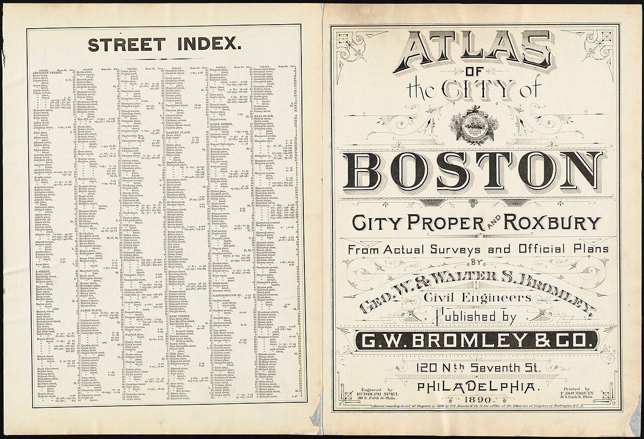
The city street atlas. One of the best companions for drivers, if not the very best. These thick books showed detailed maps of entire cities, page by page. If you spotted a street sign but had no idea where you were, you could look up that street in the atlas index. It would point you to the exact page and grid where the street appeared, helping you figure out your next move. Do you remember flipping through a street atlas to find your way across a city?

6
Asking locals for directions

Image: Deva Darshan

Following directions back then required a bit of blind faith. You might hear something like, "Drive a few miles and turn left when you see the church," or "After the green restaurant, take the second road on the right." In rural areas, where road signs were scarce, a local’s guidance was often the best map you could get. Sometimes those directions were the only way to find a place that didn’t appear on any map. Have you ever followed directions like these and hoped for the best?

7
The co-pilot seat

Image: Xia Hua

This trick required teamwork. If you weren’t traveling alone, one passenger was usually designated as the "navigator." Their role? Reading the map, watching for road signs, and warning the driver about upcoming turns. A good navigator also had to learn the driver’s rhythm: when to speak up, when to stay quiet, and how quickly directions needed to be given. The best driver–navigator pairs worked together almost like Batman and Robin.

8
The Rand McNally Road Atlas

Image: GeoJango Maps

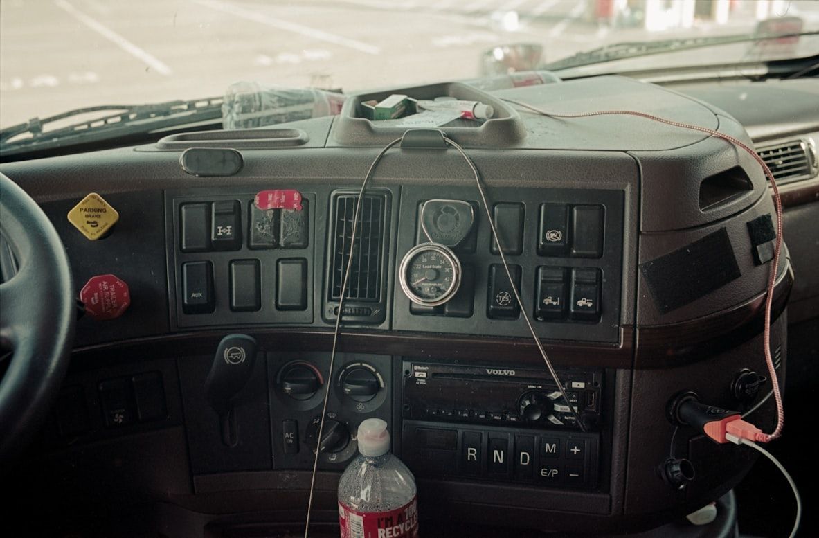
The Rand McNally Road Atlas is one of the most iconic travel tools in American road trip history. The atlas includes detailed maps of every state, showing highways, towns, and points of interest across the United States. For decades, it was a common sight in glove compartments and truck cabins, guiding travelers from city to city. Unlike digital navigation, the atlas allowed drivers to see the entire route and explore alternative roads along the way. Even today, many travelers still keep one as a backup option when cell service or GPS fails.

9
Following highway numbers

Image: Anne Nygård

During the era of long road trips, drivers didn’t worry much about street names. Instead, they followed highway numbers. If you got on the right road, like Route 66 or U.S. Route 1, you could relax and stay on it for miles and miles, sometimes across several states. As long as the number on the signs stayed the same, you knew you were still on the right path. This approach later helped inspire the Interstate Highway System, which made traveling across the country even easier.

10
The church, the bridge, the water tower

Image: Anders Jildén

Here's one of the classic road trip tricks: remembering landmarks along the road. This method required both memory and self-trust. Instead of coordinates or exact addresses, travelers remembered particular spots. They learned to look for things that stood out, like churches, bridges, water towers, or unusual buildings. When you reached the right one, you knew when it was time to turn. What landmarks did you rely on the most?

Explore more American facts

Choose your favorite category!

General
General

As American as apple pie—the very best America has to offer!

Culture
Culture

Delve into the astounding richness of American lore.

Geography
Geography

Hop in and explore vast and diverse American landscapes.

History
History

Discover the key moments that shaped the United States.